
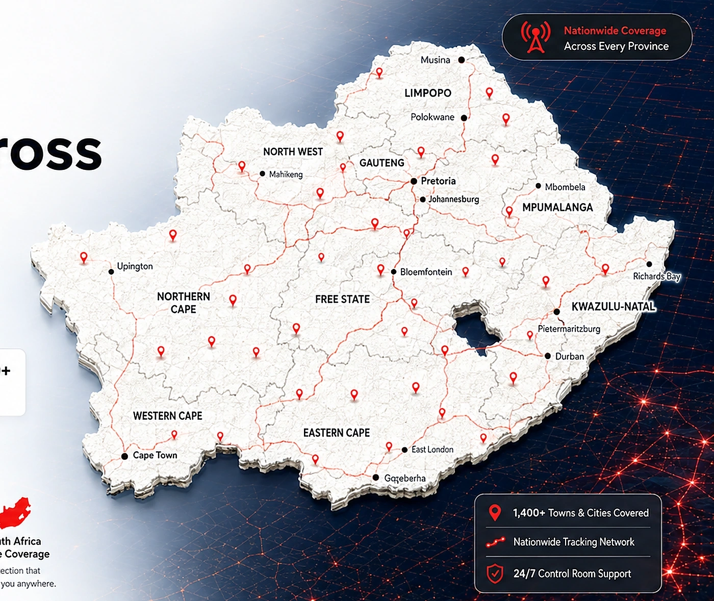
Nationwide coverage with local context
Protection across South Africa
TrackSOS is designed to support members across all nine provinces with location-aware tools, growing provider coverage and clear regional visibility.
9 provincesNational coverage design
Metro & regionalDifferent area contexts
Travel routesIntercity visibility
GrowingProvider expansion
Province coverage
GautengWestern CapeKwaZulu-NatalEastern CapeFree StateLimpopoMpumalangaNorth WestNorthern Cape
Location-aware support
Coverage, nearby help and provider visibility adapt to the member's current area.
GautengUrban concentration
Western CapeCoastal and city demand
KZNMetro and regional activity
Eastern CapeExpanding support view
Rest of SAGrowth opportunities
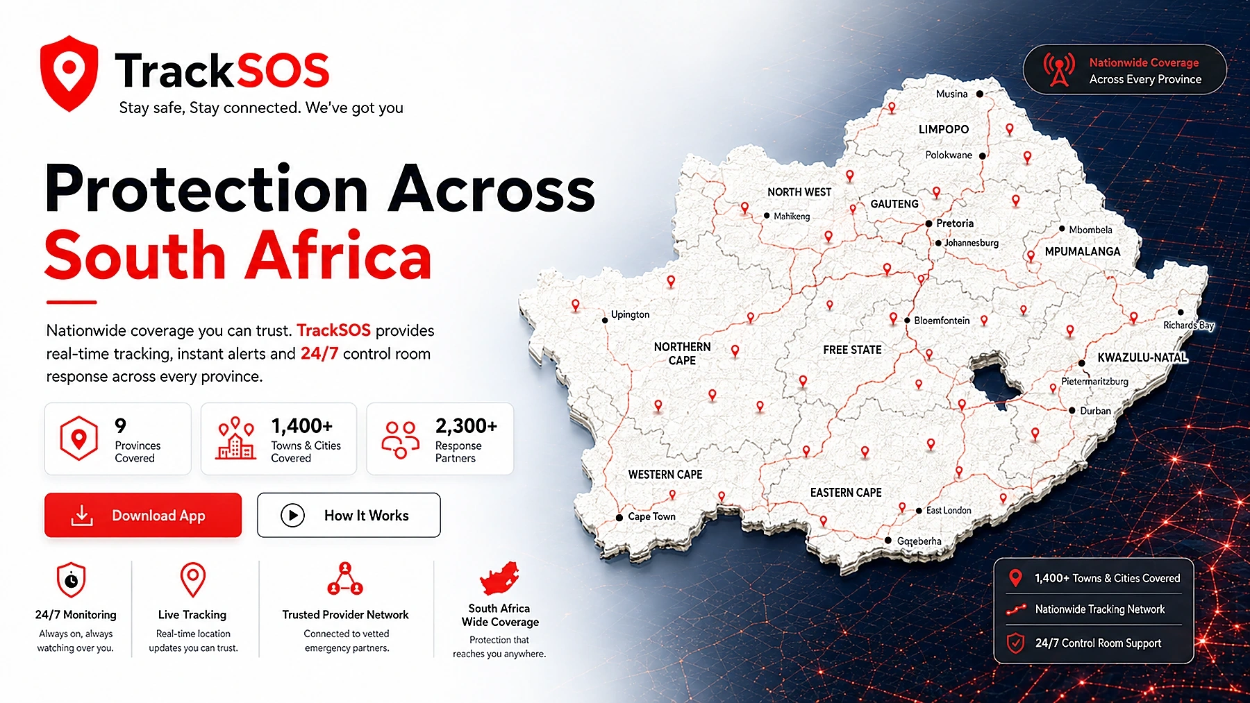
Map-first understanding
Show coverage with visual confidence
Visitors should immediately understand that TrackSOS is designed for real movement across South Africa, whether they are at home, commuting or travelling.
- Province-level context
- High-level regional availability
- City and route awareness
- Expanding provider network
Area highlights
Organised cards for different kinds of coverage
These blocks use the same clean card rhythm as the Features page, but focus on geography and operational context.
Metro coverage
High-demand metro areas benefit from clearer provider density, route logic and nearby service visibility.
Travel routes
Intercity trips and commuting routes can be supported with live sharing and nearby-help awareness.
Residential communities
Neighbourhoods and family routines benefit from patrol context and shared safety visibility.
Network expansion
As TrackSOS grows, new communities, providers and service zones can be added cleanly to the system.
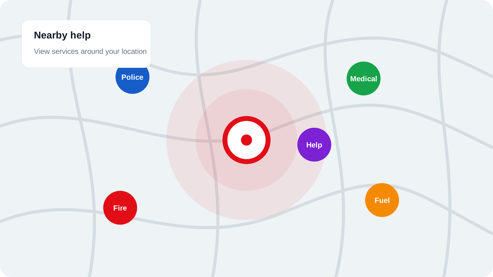
Nearby help by location
Show how location-driven assistance gives users more confidence when moving through unfamiliar areas.
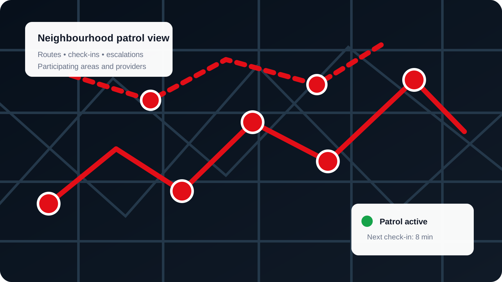
Community and patrol context
Coverage is not just about geography — it is also about the local support structures that surround users.
Coverage across South Africa
Cities, provinces, travel routes and local service areas
Explore regional coverage, route guidance, urban and rural support, provider availability and the factors that can affect response in different locations.
Route Coverage Map
Cities & Towns Covered
8Major Cities
250+Towns
750+Rural Areas
1,000+Communities
Major Cities Fully Covered
Coverage Highlights
Nationwide Mobile CoverageMulti-network redundancy
Real-time trackingUrban and rural areas
Advanced roamingLeading providers
24/7 control roomMonitoring nationwide
Reliable networkRemote regions
Coverage layers
Understand how location, roads and provider availability affect support
Coverage is not just a province list. It combines signal, road access, active partners, service type and current operational conditions.
Strong urban coverageRegional partner coverageExpanding areas
Urban response zones
Higher provider density and stronger route access can support faster coordination in major cities.
Metro and suburbanRegional travel routes
Key roads and participating towns support safer travel between covered urban centres.
Highways and main roadsRural partner zones
Availability depends on local partners, distance, road access and the type of assistance requested.
Partner-led coverageLive availability
Operational availability can change, so the control room checks current responders rather than relying on a static list.
Checked per incidentRegional Highlights
Urban Area Support
- High-density network
- Strong indoor signal
- Fast response
Rural Area Support
- Wide partner coverage
- Main road access
- Improving connectivity
Remote Area Support
- Partner backhaul
- Key routes
- Expansion in progress
Marine & Coastal Coverage
- Coastal city coverage
- Harbour monitoring
- Nearshore network
Coverage Factors
Network PartnersLeading networks keep you connected.
Terrain & GeographyDistance may affect signal.
InfrastructureTowers and backhaul.
Weather ConditionsExtreme weather can affect service.
Travel Guidance Between Cities
| From | To | Distance | Route Coverage | Guidance |
|---|---|---|---|---|
| Johannesburg | Cape Town | 1,408 km | Excellent | Clear route, strong coverage |
| Pretoria | Durban | 566 km | Excellent | Highways fully covered |
| Bloemfontein | Port Elizabeth | 747 km | Good | Major roads well covered |
| Polokwane | Nelspruit | 360 km | Good | Strong along main routes |
| East London | Gqeberha | 354 km | Good | Coastal route covered |
| Kimberley | Upington | 381 km | Fair | Partner coverage available |
Want to understand the tools behind coverage?
Move from where TrackSOS works to how the platform protects people
The Features and How It Works pages complement this coverage story with the actions and workflows available to members.